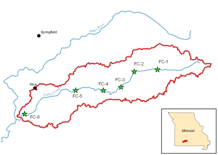
(2013) Finley Creek - Channel Stability (Historic Comparison)
Scope
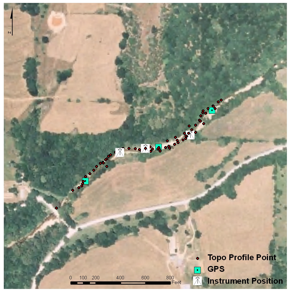
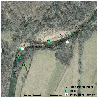
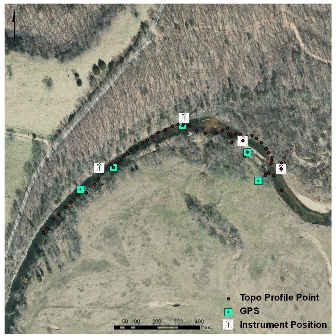
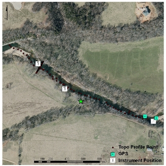
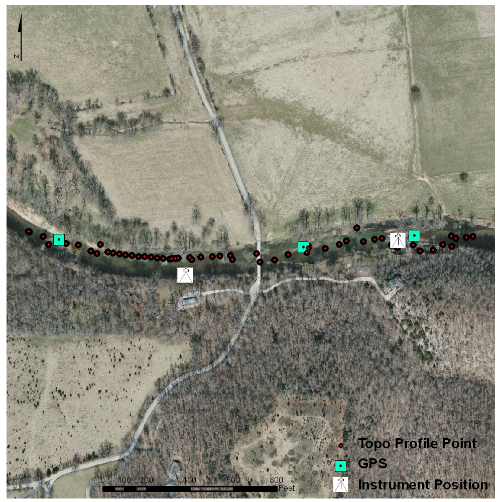
This project involves a watershed-scale study of stream bed and bank stability in the Finley Creek. Recent meetings with stakeholders and managers during the development of the management plan for the watershed have identified channel instability and sedimentation as the primary problems affecting their watershed. This project will examine channel morphology, riparian vegetation, bank erosion, and gravel bar distribution using historical aerial photography, GIS/remote sensing, field assessments, and subsurface floodplain mapping.
Objectives
- Quantify historical channel changes using a series of aerial photographs dating back to the 1950s,
- Identify areas of erosion and deposition and classify the channel planform at the reach-scale, and
- Relate channel planform characteristics to field based assessments of channel stability and riparian vegetation influence.
Documents
Funding
Ozarks Environmental and Water Resources Institute Start-Up Workplan Year-2
U.S. Environmental Protection Agency